
Earth Services
Seeing changes to protect our fragile environment
Forests evolve. Coastlines shift. Crops respond to changing conditions. Communities face growing challenges. Infrastructure and human activity leave marks across the landscape. Seeing these changes across a planet requires a perspective only space can provide.
From Observation to Action
Improving sustainability for a more secure world.
NorthStar’s Earth Information & Intelligence (Ei²) services transform raw data, from satellite and airborne platforms, combined with ancillary datasets, into information that helps organizations better understand environmental and operational challenges and make better decisions.
Using artificial intelligence and advanced analytics to uncover patterns, shifts, and relationships within that data that might otherwise be difficult to see, providing better insight into evolving conditions on Earth.
Where We Create Impact
- 01 Forestry & Biodiversity
- Map species composition, monitor ecosystem health, and support biodiversity management using hyperspectral imagery, AI, and multi-source data fusion.
- 02 Wildfire Intelligence
- Support wildfire risk assessment, preparedness, and response, through Earth observation analytics and environmental intelligence products.
- 03 Marine & Coastal Awareness
- Monitor marine pollution, ice conditions, and coastal ecosystems through integrated satellite, airborne, and geospatial analytics.
- 04 Emissions & Infrastructure
- Detect methane emissions and monitor critical infrastructure to support environmental compliance and operational awareness.
- 05 Emergency Preparedness & Response
- Deliver timely information that helps decision-makers respond to environmental incidents, natural disasters, and other emergencies.
Hyperspectral use cases
Hyperspectral Imaging · 2019
-
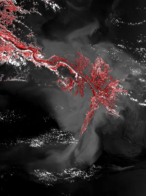
Map Mineralogy
NorthStar will conduct a soil and mineral investigation, mapping soil surface and minearology, which can be applied to mapping and monitoring soil contamination.
Read -
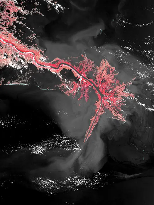
Track Plant Water Stress
NorthStar will monitor soil and plant health by tracking: Water stress: tracking plant water stress days before the effects of a disaster are observable by the naked eye. Nutrient stress: detecting deficiencies in nutrients such as zinc and toxicity from chemicals or heavy metals such as lead and mercury.
Read -
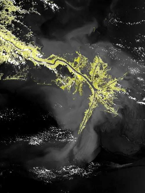
Detect Soil & Plant Health
NorthStar will monitor soil and plant health by detecting soil moisture, organic content, salinity, organic carbon, mineral composition & concentration at locations of interest and determine if plants are at risk of water or nutrient stress conditions.
Read -

Monitor Biodiversity
NorthStar will monitor marine biodiversity and water quality by identify coral species, healthy and unhealthy coral colonies & other benthic species, and revealing microscopic plants, organic compounds, suspended sediments & other water quality controlling factors.
Read -
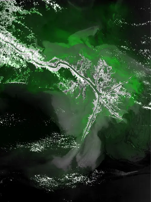
Identify Wetlands
In an oil spill, NorthStar EI2 will identify shoreline features and the severity of oil spill by identifying environmentally sensitive areas (wetlands, with shallow water, sea grass, salt marshes, tidal flats, waterways, or beaches with significant biodiversity) and identify oil spill damaged areas.
Read